Pennyweight Placer
20 acres · South Fork Tuolumne River · Tuolumne County, California
$8,500or best offer
“As close to mining in Yosemite as you can legally get.”
Mining is prohibited inside national parks. The South Fork Tuolumne leaves Yosemite and flows about three-quarters of a river mile before entering this claim, and per BLM records there is no other mining claim in that gap — this is the first claim on the river below the park boundary. Checked August 2026.
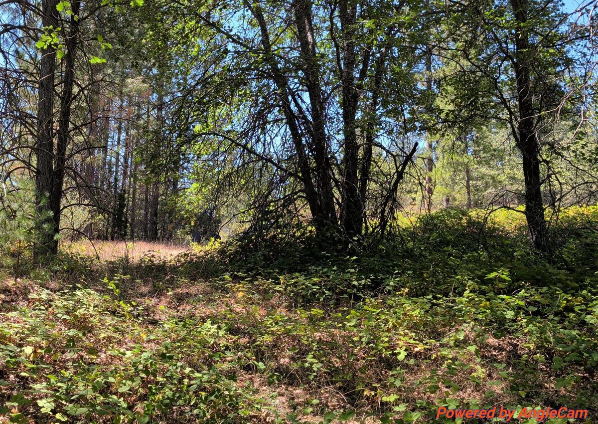
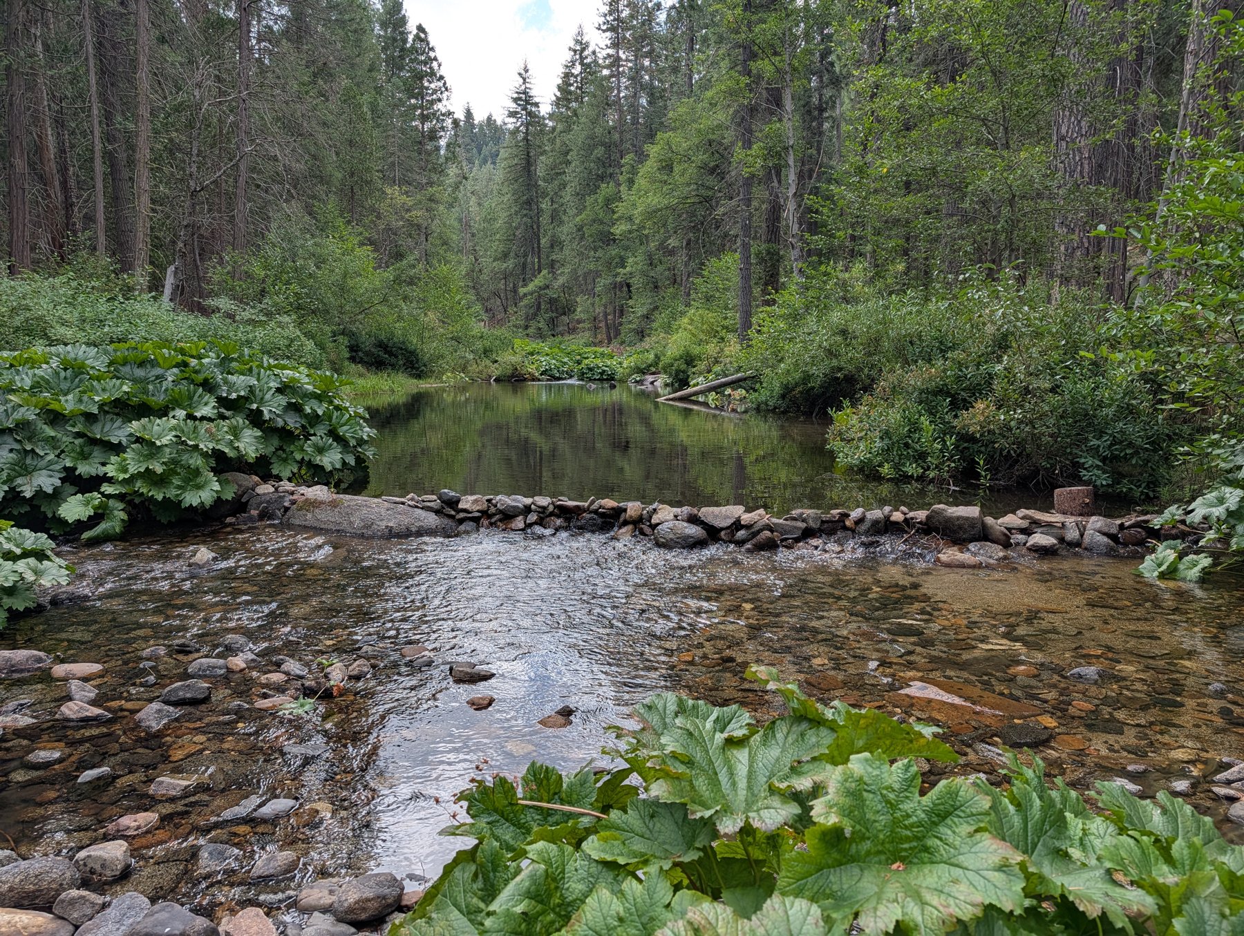
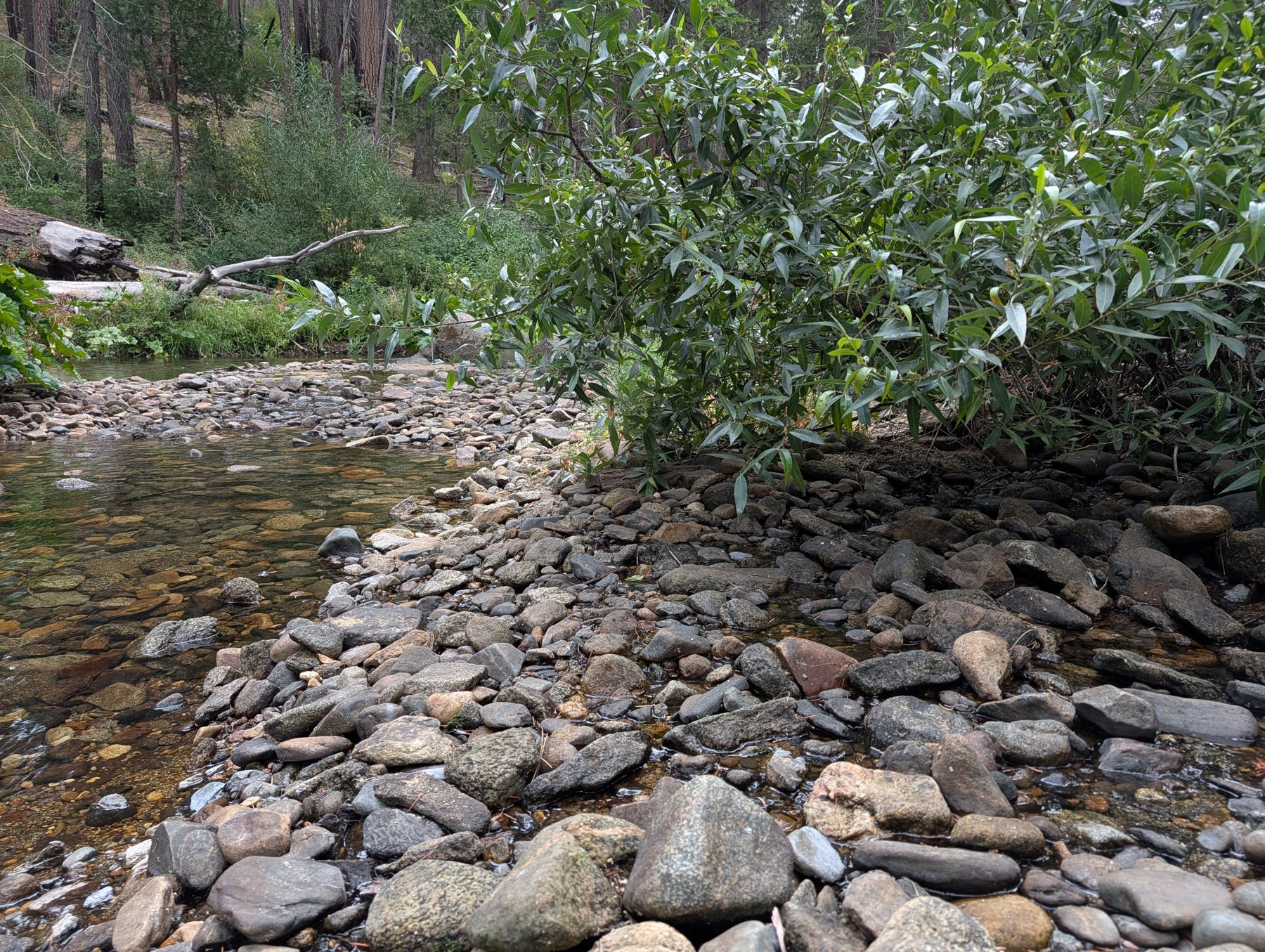
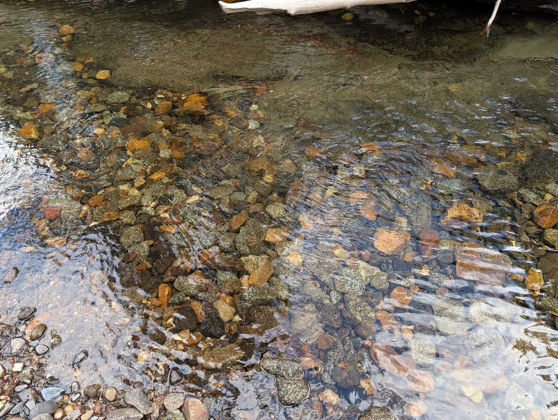
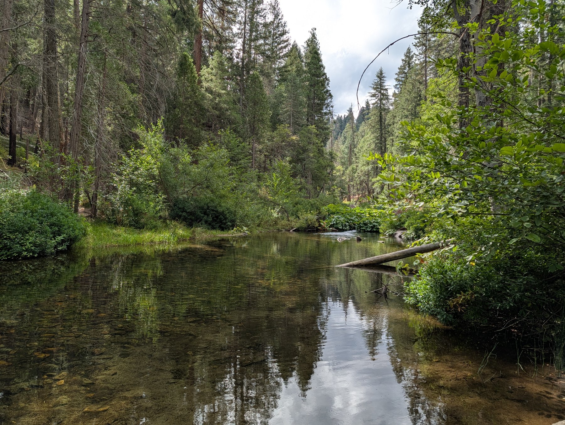
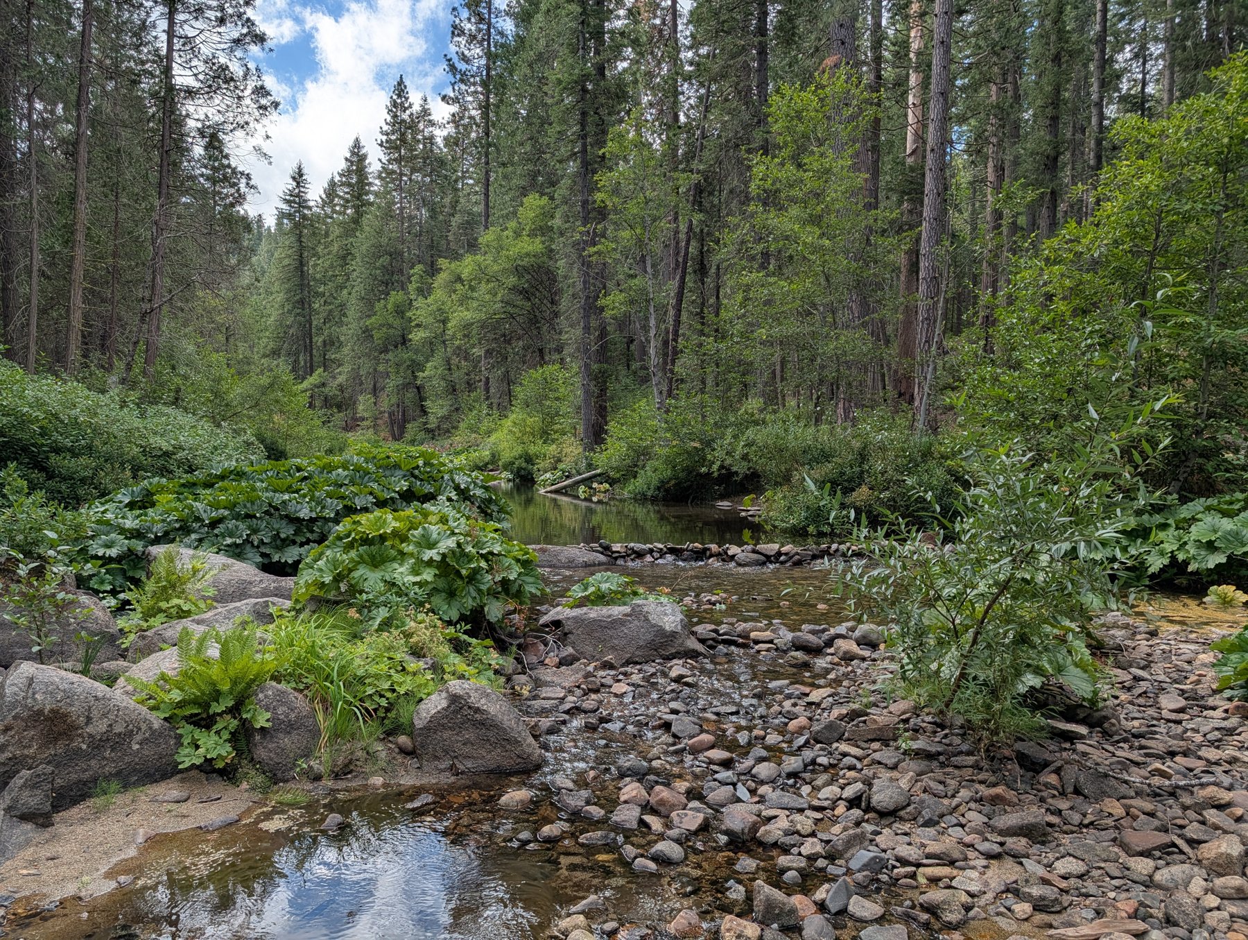
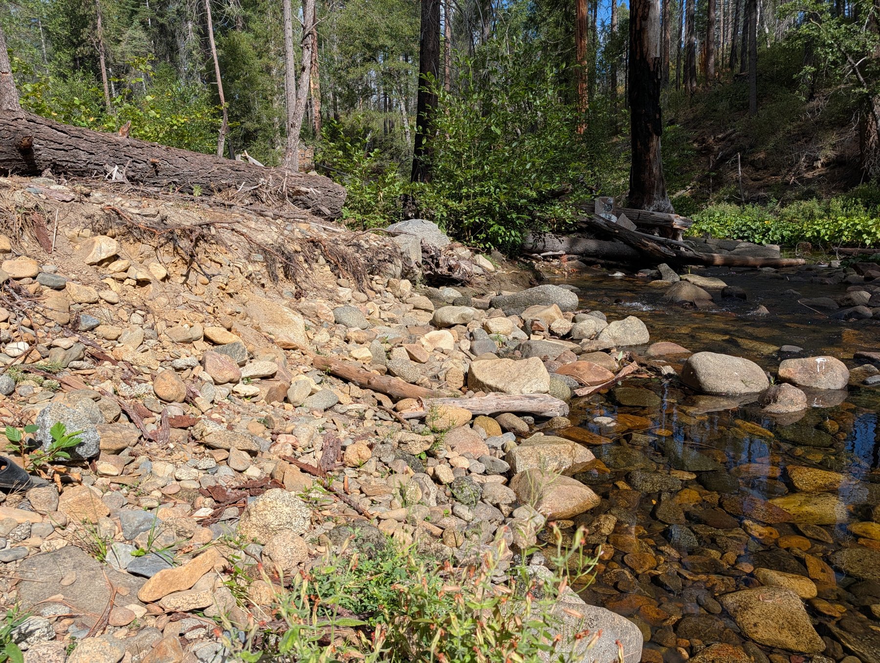
- The ground: year-round water, exposed bedrock, gravel bars. A canyon that stays green when the rest of the Mother Lode is brown. About 3,900 ft elevation, mixed-conifer.
- Access: a signed turnout right off Highway 120, the main Yosemite route, then a short Forest Service dirt road. The FS road is seasonally gated, roughly December to April 30; the claim is walkable year-round.
- Standing: BLM serial CA101921861. Sole owner, 100% interest, no co-owners, no liens. Maintenance paid through the 2027 assessment year.
- Financing: available for a qualified buyer — $2,500 down, $500/month for 12 months, no interest. Signed agreement required.
On gold
No production records exist for this specific 20 acres. What is offered is documented placer-district history, year-round water, and the bedrock-and-gravel river structure prospectors look for. The prospecting is yours.