Claims for sale / Tuolumne County, California
Pennyweight Placer
A 20-acre unpatented placer claim on the South Fork Tuolumne River, about half a mile below the Yosemite National Park boundary. Year-round water, exposed bedrock, gravel bars — and a complete recorded archive that comes with it.
For sale
$8,500 or best offer · financing available
“As close to mining in Yosemite as you can legally get.”
Mining is prohibited inside national parks. The South Fork Tuolumne leaves Yosemite and flows about three-quarters of a river mile before entering this claim, and per BLM records there is no other mining claim in that gap. That makes Pennyweight the first mining claim on the river below the park boundary. I checked the federal record in August 2026; you can check it yourself, and I’ll show you how.
The claim
Photographs
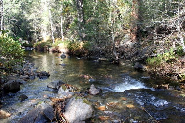
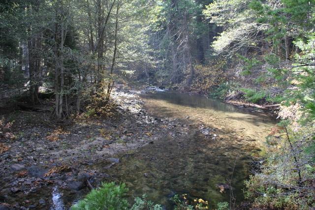
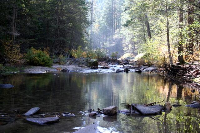
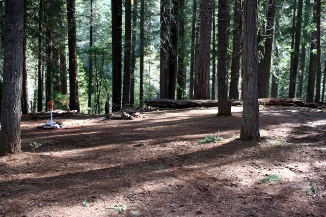
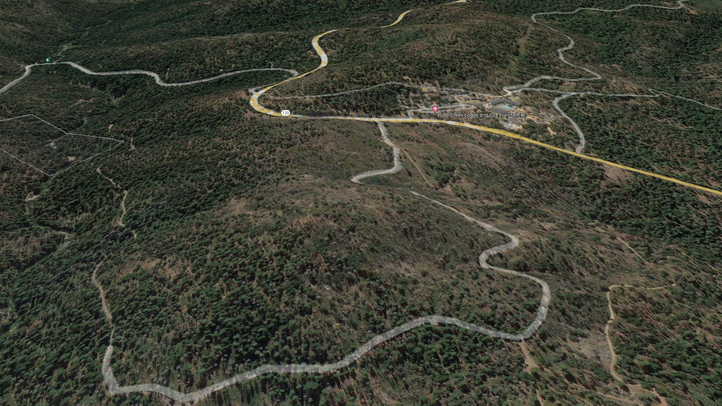
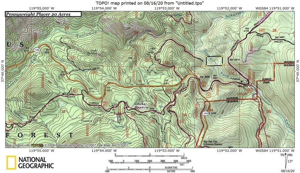
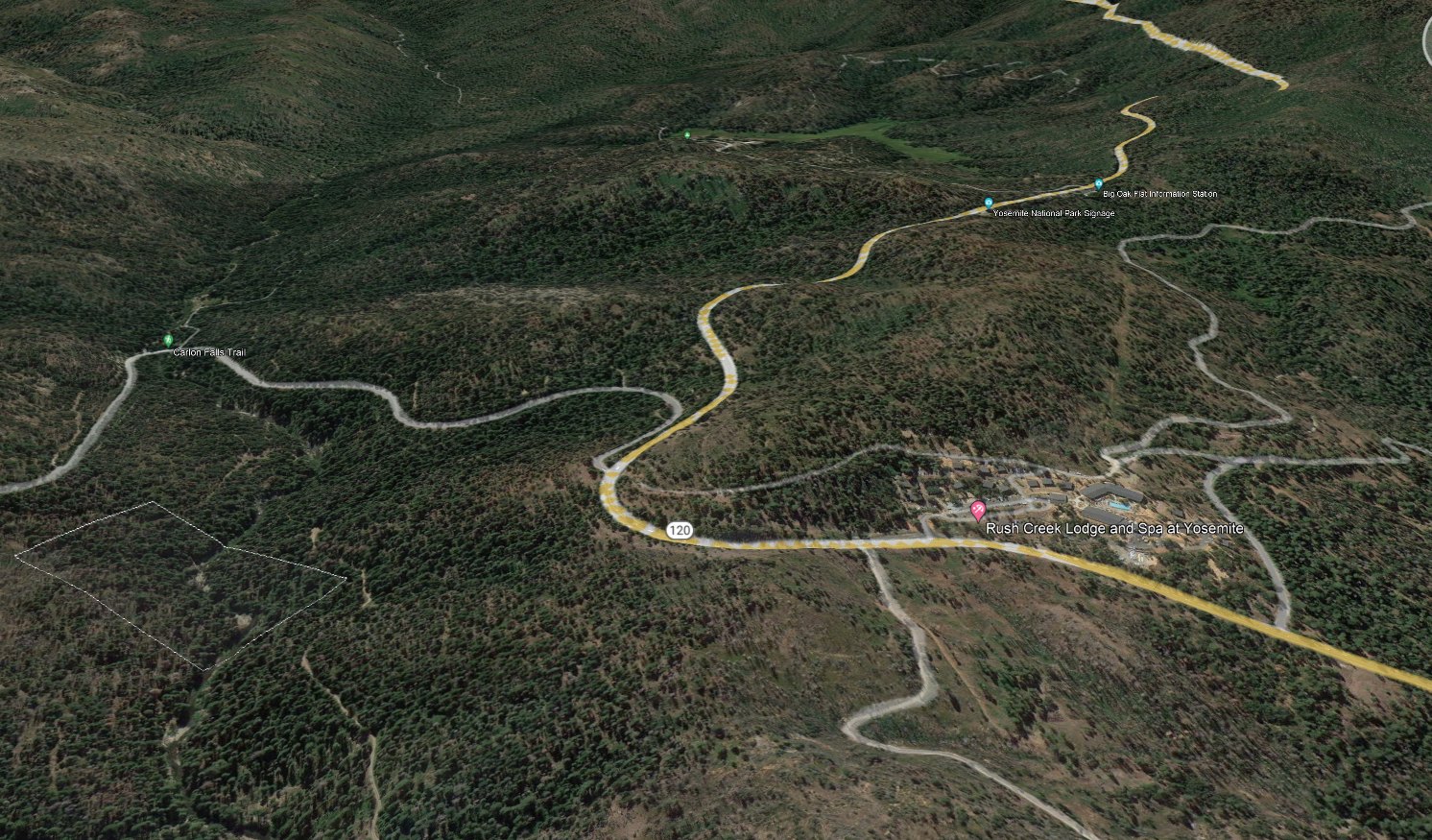
The ground
Water, bedrock, gravel.
Year-round water on a canyon reach with exposed bedrock and gravel bars — the structure prospectors look for. About 3,900 feet of elevation in mixed conifer. It is a canyon that stays green when the rest of the Mother Lode is brown.
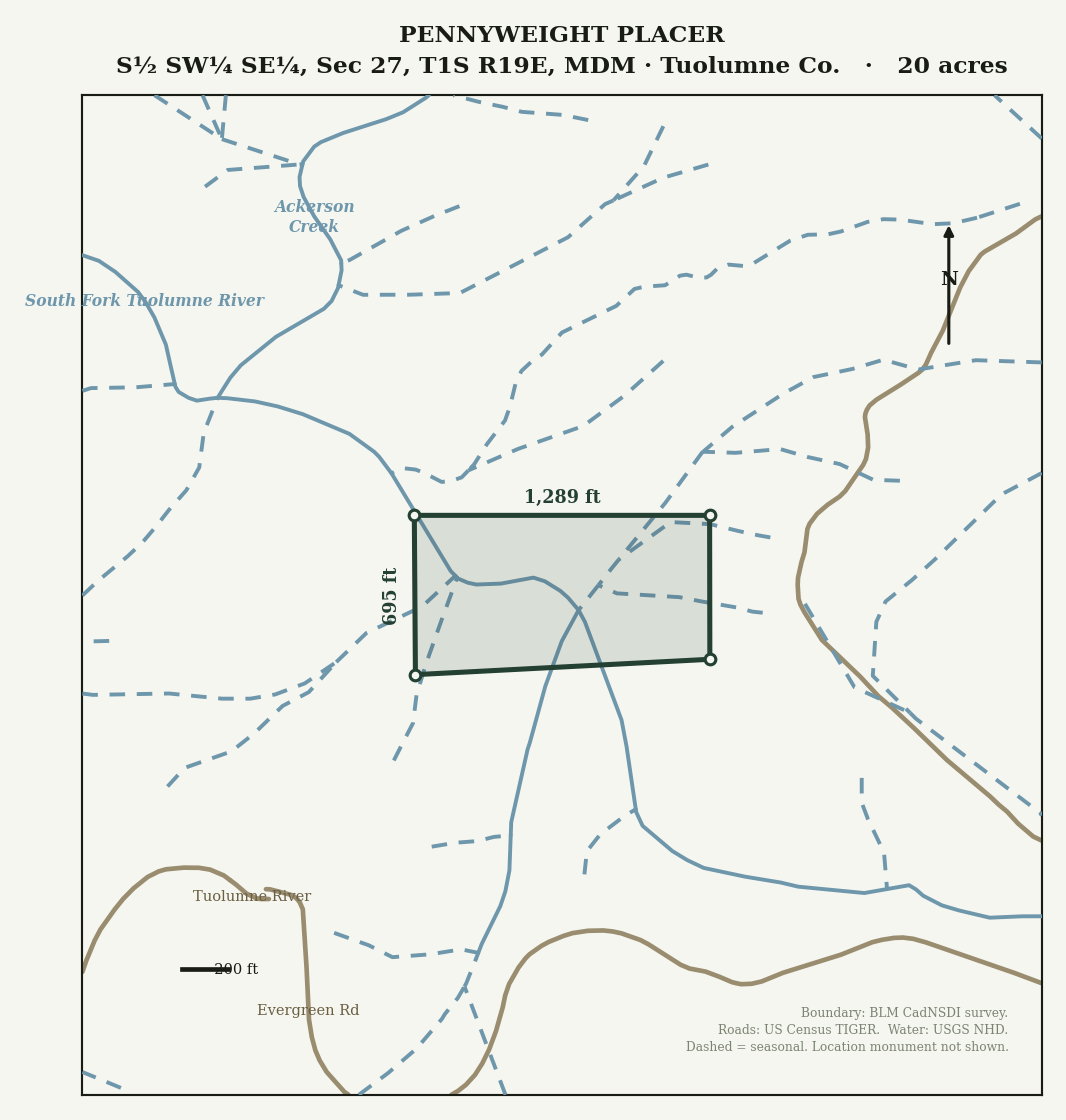
- About 1,145 ft of the South Fork Tuolumne runs in-claim (USGS NHD centerline).
- About 280 ft of a perennial tributary, in addition.
- 20 acres of unpatented placer ground on federal land.
Access
Off Highway 120.
A signed turnout right off Highway 120 — the main Yosemite route — then a short Forest Service dirt road. Buck Meadows and Groveland are minutes west for gas, food, and supplies.
- The Forest Service road is seasonally gated, roughly December through April 30.
- The claim is walkable year-round, gate or no gate.
Documentation manifest
What the buyer receives, on the record.
Every line below traces to a recorded public document or an official federal record. Verify any of it independently — that is the point of listing it this way.
- BLM serial
- CA101921861 — legacy CAMC 323586
- Legal description
- S½ SW¼ SE¼, Section 27, T1S R19E, Mount Diablo Meridian
Tuolumne County, California - Size
- 20 acres, unpatented placer claim
- Water in-claim
- About 1,145 ft of the South Fork Tuolumne River (USGS NHD centerline), plus about 280 ft of a perennial tributary
- Elevation
- About 3,900 ft, mixed-conifer canyon
- Located
- 2020
- Chain of title
- Conveyed by notarized deed recorded April 2022, Tuolumne County document 2022005271. BLM transfer accepted on the federal record.
- Ownership
- Sole owner, 100% interest. No co-owners, no liens.
- Fees & standing
- BLM maintenance paid through the 2027 assessment year. The new owner’s first deadline is September 1, 2027.
- Position on the river
- First mining claim below the Yosemite National Park boundary; no other claim in the roughly three-quarter river mile gap per BLM records, checked August 2026.
Included at sale
- The recorded archive — the filings above, as recorded documents.
- A Google Earth boundary file you can open on your phone.
- GPS corners verified against the official BLM digital plat.
- A personal transfer walk-through — the notarized claim deed and the BLM filing handled together, so you start in clean standing.
Financing
$2,500 down, $500 a month, no interest.
Available for a qualified buyer over 12 months, with no interest. A signed agreement is required.
An honest word about gold
No production records exist for this specific 20 acres. I will not tell you this ground produced, because I do not know that and neither does anyone else.
What I can document is placer-district history, year-round water, and the bedrock-and-gravel river structure prospectors look for. The prospecting is yours.
— and as always: gold values are never guaranteed. The paperwork is.
Questions about Pennyweight?
Ask about the ground, the filings, the access, or the financing. Nothing about this claim is a secret.